Silas Toms is a long-time geospatial professional and author who has previously published ArcPy and ArcGIS and Mastering Geospatial Analysis with Python. His career highlights include developing the real-time common operational picture used at Super Bowl 50, building geospatial software for autonomous cars, designing computer vision for next-gen insurance, and developing mapping systems for Zillow. He now works at Volta Charging, predicting the future of electric vehicle adoption and electric charging infrastructure.
Silas Toms - ebooki
Tytuły autora: Silas Toms dostępne w księgarni Helion
-
Promocja
 This book teaches you how to better run the ArcGIS Online and ArcGIS Pro tools, helping you learn new and important tips and tricks to manage data for entire cities or huge companies.
-
-
ebook
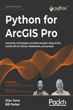
Python for ArcGIS Pro. Automate cartography and data analysis using ArcPy, ArcGIS API for Python, Notebooks, and pandas
Silas Toms, Bill Parker, Dr. Christopher Tucker, René Rubalcava
(141,75 zł najniższa cena z 30 dni)
170.10 zł
189.00 zł(-10%) -
-
Promocja
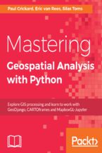
 Python comes with many libraries and tools that help you work on geoprocessing tasks without investing in expensive tools. This book introduces you to new libraries that perform geospatial and statistical analysis and data management. It uses examples that explain how Python v3 differs from v2, and solve age-old problems in geospatial analysis.
-
-
ebook
(111,75 zł najniższa cena z 30 dni)
134.10 zł
149.00 zł(-10%) -
-
Promocja
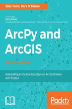
 ArcGIS allows for complex analyses of spatial data. The ArcPy module is used to create custom ArcGIS tools, providing automation of geospatial analysis and map book production. The second edition of the book focuses on new Python offerings by Esri for ArcGIS for Server, ArcGIS Online and ArcGIS Pro, including the ArcGIS API for Python. Using Pyth
-
-
ebook
(111,75 zł najniższa cena z 30 dni)
134.10 zł
149.00 zł(-10%) -
-
Promocja

-
-
ebook
(104,25 zł najniższa cena z 30 dni)
125.10 zł
139.00 zł(-10%) -
Dziękujemy za zgłoszenie. Otrzymasz e-mailem informację jak książka będzie dostępna.


